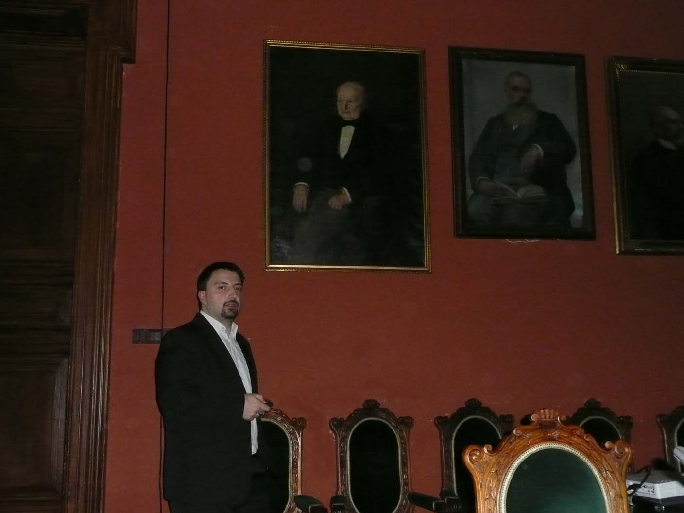
Presentation of the achievements of programmers from Earth Observation Group

On 11 December in Krakow monthly meeting of the Committee of Geoinformatics Polish Academy of Arts and Sciences was held. Artur Nowakowski presented achievements of a group of programmers working in Earth Observation Group.
Within two years of its existence, the group developed new applications for various adoptions. Among the solutions are desktop programs , networking , and mobile. Solutions are created as a user-friendly, and many of them implements innovative methods developed in SRC PAS .
The most important applications are:
- IncSIM – determination of environmental indicators , together with the optimization of multi-core ,
- BooSIM – an application for the classification of satellite images , Boosting method ,
- MatSIM – an application for matching pairs of images ” pixel by pixel “
- Image segmentation library OpenForis ,
- Simulation of the signal from the hiperspectral scanner and submitting a consistent image from the image lines
- CDRI – an application for the detection of changes in the radar images ,
- Location and license plate recognition ,
- Detection , tracking and recognition of faces in smart camera ,
- Determining the boundaries of coastal zones,
- Web3D – client and server for 3D network services (in cooperation with Astri Poland )
- Geoportal – Internet service indicators for visualizing the surface of the Polish daily updated using satellite images of low resolution ,
- Alice – an interactive digital map system for crisis management (in collaboration with Astri Poland )
- Water level monitoring in Southern Sudan as part of an early warning system against floods.
 Wersja polska
 English version