
SATMIROL
SATMIROL project aims to solve the problems faced by agricultural statistics and recipients of agricultural statistics by: development of methods based on satellite data from the European COPERNICUS program for: the identification and monitoring

MaiL – Identifying Marginal Lands in Europe and strengthening their contribution potentialities in a CO2 sequestration strategy. Globalne zmiany klimatu są problemem światowym, a sposoby radzenia sobie z nimi stały się nawet jednym z

SATMIROL
SATMIROL project aims to solve the problems faced by agricultural statistics and recipients of agricultural statistics by: development of methods based on satellite data from the European COPERNICUS program for: the identification and monitoring
ACCESS-4FI
ACCESS-4FI – Automated Crop Classification and yield Estimation online ServiceS for Food Industry. This project addresses the challenge of quantification and annual monitoring of the agricultural production, as seen from the perspective of different
BAMS-Mazovia
The main goal of the BAMS-Mazovia (Build-up Areas Monitoring Service for Mazovia) project is to develop a service platform that would provide reliable information on changes occuring within built-up areas. The service will be
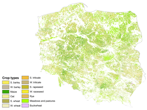
EOStat
EOStat – Services for Earth Observation-based statistical information for agriculture The project aims to develop methods for a collection of statistical information about agricultural production and methods for a control of farmers’ activity in
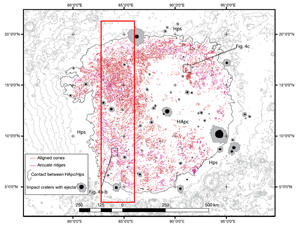
Analysis of the surface of the solar system bodies with the use of mathematical morphology techniques
Task: Remote Sensing Analysis of Landforms in Isidis Planitia, Mars In 2018, the project’s goal and scope were determined, namely: to develop a semi-automatic algorithm to analyse characteristic landforms in Isidis Planitia on Mars.

LiRa-C
Seen from the ground, clouds come in a wide variety of shapes and sizes; faces, animals, plants – the only limit is the observer’s imagination. However, climatologists only distinguish ten generic types, divided into
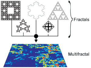
Evaluation of the usefulness of multifractal formalism in the processing and analysis of optical remote sensing images
The rapid development of the satellite systems and airborne measurements generates significant increase of the amount of collected observational data about our planet. This forces the improvement of existing and the development of new

S2GLC
At the beginning of February 2016 our group has started a new ESA project in the framework of Scientific Exploitation of Operational Missions (SEOM) S2-4Sci Land and Water. S2GLC is an international project implemented
 Wersja polska
 English version