Wersja polska
 English version
Seminar of the Remote Sensing Section
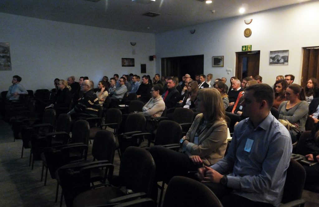
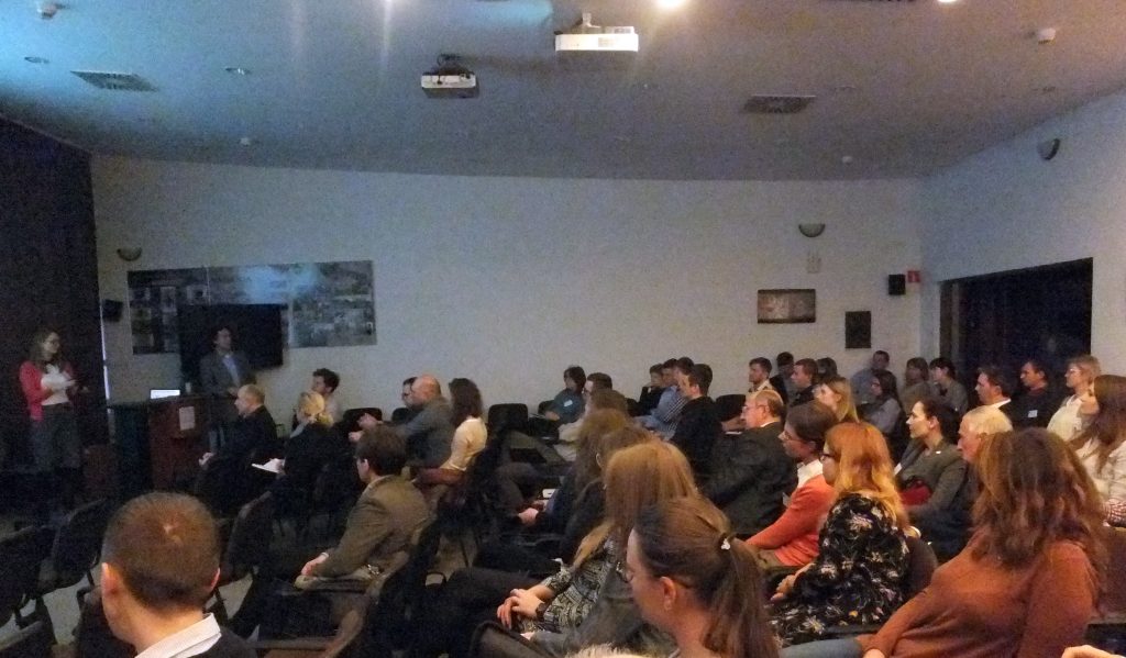
On 14th December 2016 seminary of the Remote Sensing Section, which is part of the Space and Satellite Research Committee, took place. The main subject of the 4th seminar was “Transformation and acquisition of information from satellite radar observations, part II.”. Four presentations were given:
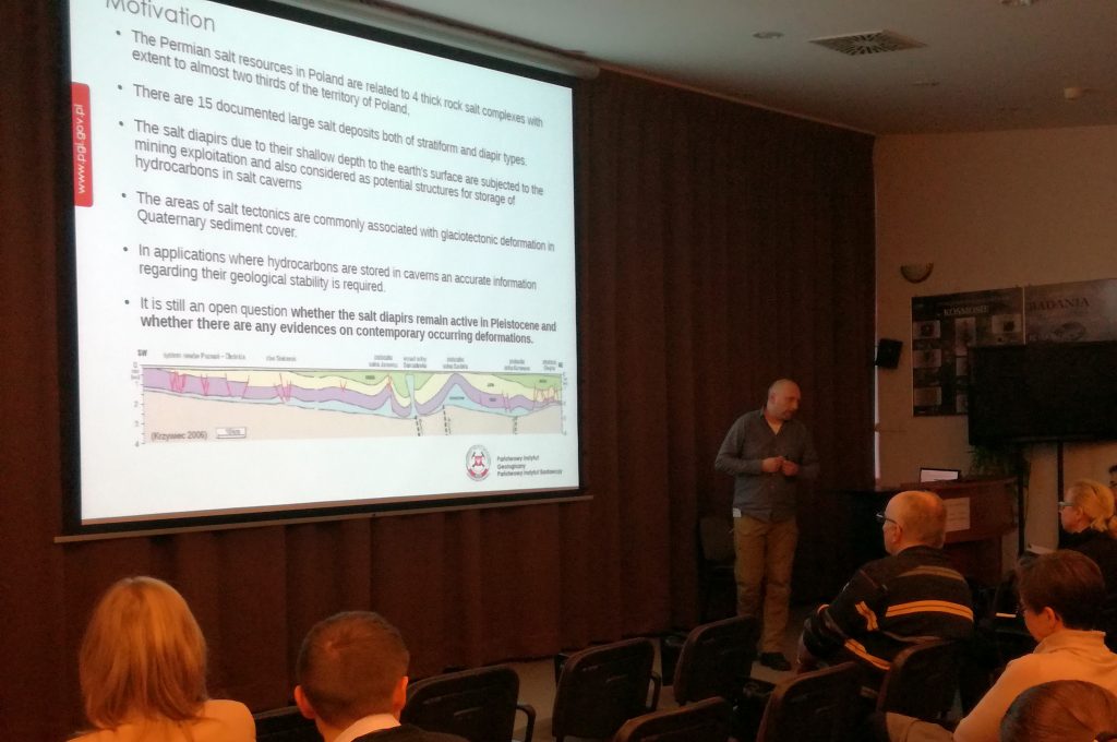
- “Integrated monitoring of land deformation with use of InSAR, CRInSAR, GNSS and precise levelling.” – phd Zbigniew Perski from Polish Geological Institute National Research Institute
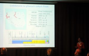
- “Study of the effect of frequency and polarization of SAR satellite data on the accuracy of determining the extent and structure of the ice phenomena on rivers” – Helena Łoś from Department of Geodesy and Cartography Warsaw University of Technology
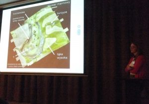
- “The use of experimental polarimetric radar data Tandem-X SAR Science Phase in ecohydrological studies of wetlands in the Biebrza Valley” – Magdalena Mleczko, Faculty of Geodesy, Geospatial and Civil Engineering of the University of Warmia and Mazury in Olsztyn
- “Simulation of radar satellite images” – phd Paweł Wajer, Space Research Centre of the Polish Academy of Sciences
After each presentation there was time for question from the audience, when they had possibility to open thread of the discussion.
-

- dr Zbigniew Perski
-
- Maria Przyłucka

-
- Magdalena Mleczko

-
- Helena Łoś